Airports I've Been To:
Some images from mapquest.com, back when they used to have overhead images, or Google.com.
Rancho Murieta (RIU)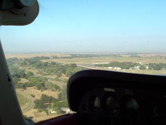
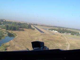 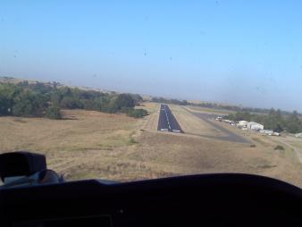
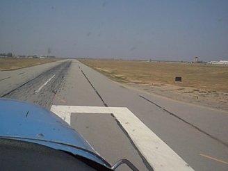
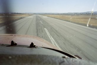
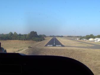 This is in Rancho Murieta, California. It is the home of both American Aero and Flying Vikings, and where most of the lessons begin and end. These are photos of runway 22 right after the runway had been refinished. Top Of Page |
Mather Field(MHR)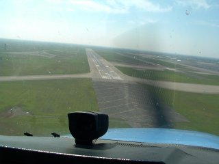
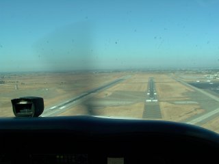 
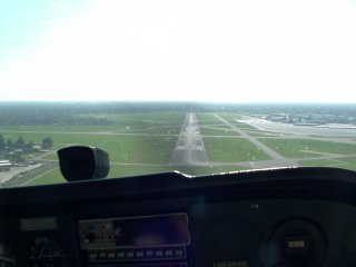
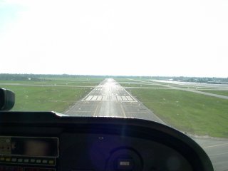
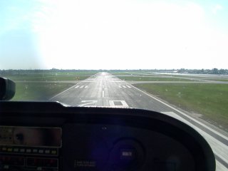
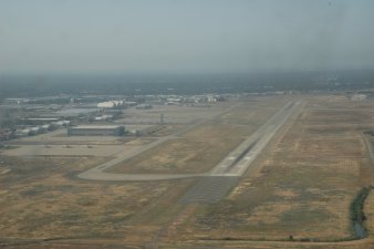
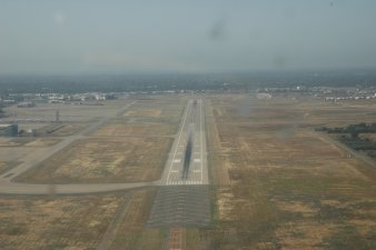
 Mather used to be an Air Force Base. Now it's a commercial air strip, used mostly by big cargo planes. We use it for tower practice, too. Runway 22L is a little better than 2 miles long. Top Of Page |
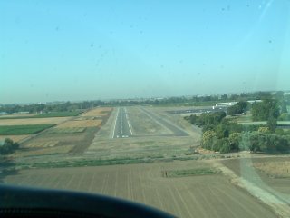
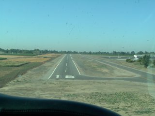
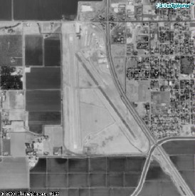
Sacramento Executive (SAC)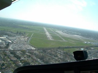
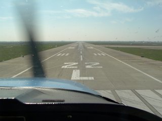
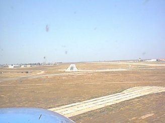
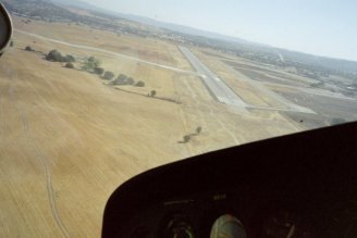
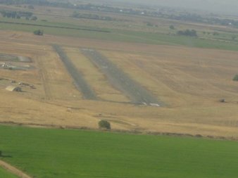
 Sacramento Executive Airport, runway 20, the default runway. One of the American Aero planes was based out here, so we used this airport for night work and tower practice. None of our planes are there now. Top Of Page |
McClellan Park (MCC)
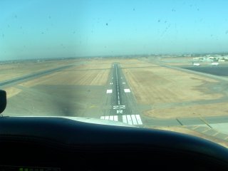
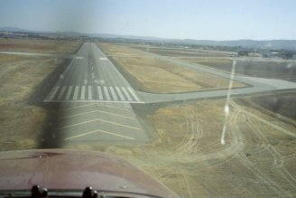
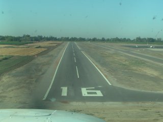
 Formerly McClellan Air Force Base. The first is from the south, runway 34. The rest are landing on 16. Top Of Page |
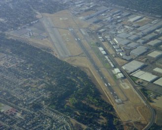
Bakersfield Meadows Field (BFL)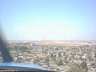
  My home town airport. I've been there three times now, in different airplanes. Top Of Page |
Paso Robles (PRB)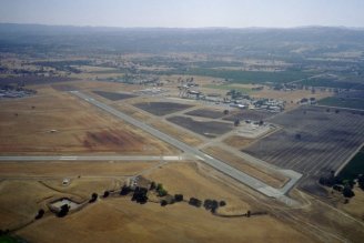
 The airport closest to Atascadero, where my wife's family lives. Top Of Page |
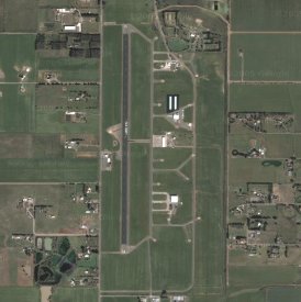
Franklin (F72, formerly Q53)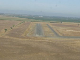
 The airport we fly to from RIU for practice. It's out in the middle of nowhere and perfect for working on landings. Top Of Page |
Cameron Park (O61) (oscar-six-one)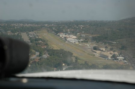
 This is in the middle of a residential area, so you have to fly into and out of houses and hills. And the north end of the runway rises up. Top Of Page |
Nevada Co. (O17) (oscar-one-seven)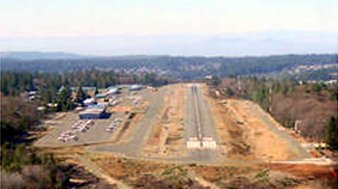 Image from airnav.com In Grass Valley, CA. Nice airport. The runway (25) slopes downward, and the CDF flies out of here if there's a fire nearby. So you gotta be on your toes. I'll get more pictures on our next trip. Top Of Page |
University at Davis (0O5) (zero-oscar-five)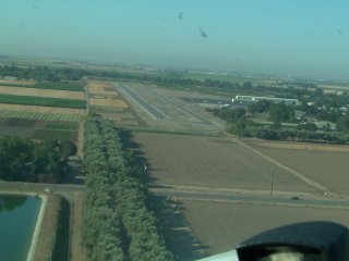
 This is the airport I did my night landings at during training. Recently I went back during the day and got these pictures. Top Of Page |
Lincoln (LHM)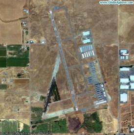 I had never been to Lincoln, and needed night time currency, so Donn and I flew to Lincoln and did some landings. A buddy of mine went, too, and flew back. Mapquest picture. Top Of Page |
Columbia (O22) (oscar-two-two)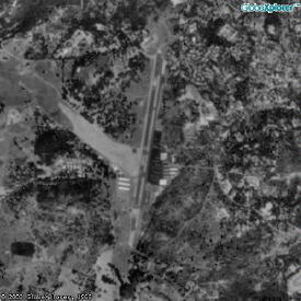 Columbia is an airport my buddy's parents live near, so we flew down one day. Neither of us, of course, took a camera. :-) This is a Mapquest picture. Top Of Page |
Chico (CHI) / Willows (WIW) / Yolo County (2Q3)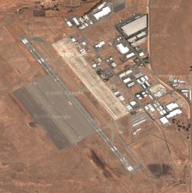
 These were three of my landing points on my first solo cross country. It was RIU-CHI-WIW-2Q3-SAC-RIU. It took over 3 hours. It was a blast! I didn't, however, take any pictures... Actually I never take pictures when I'm the one flying. That's just not that great an idea, especially during landing. These pictures came from Google and Mapquest. Top Of Page |
Tracy (TCY) / Modesto (MOD)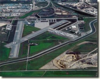
 My second solo cross country was RIU-TCY-MOD-RIU. The Tracy picture is from the Tracy Municipal Airport website, and is a link to it. The Modesto picture is from the last time I flew over it. Top Of Page |
Lodi (1O3) (one-oscar-three)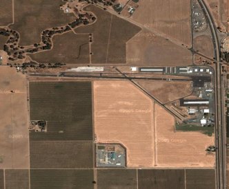 When my instructor and I were doing my second non-solo cross country, we stopped for lunch at Lodi. They make pretty good burgers. This is another Google photo. Top Of Page |
Oroville (OVE)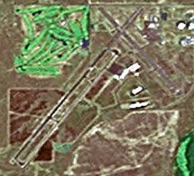 Oroville was the destination for the night cross country flight during training. This picture is from Google. Top Of Page |
Email me!
Back to Flying Main Page
Back to Home Page